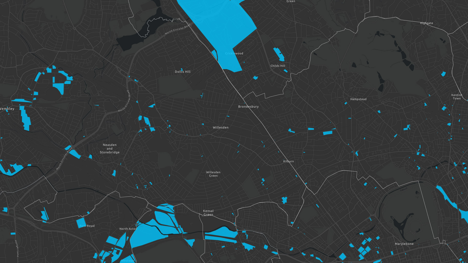
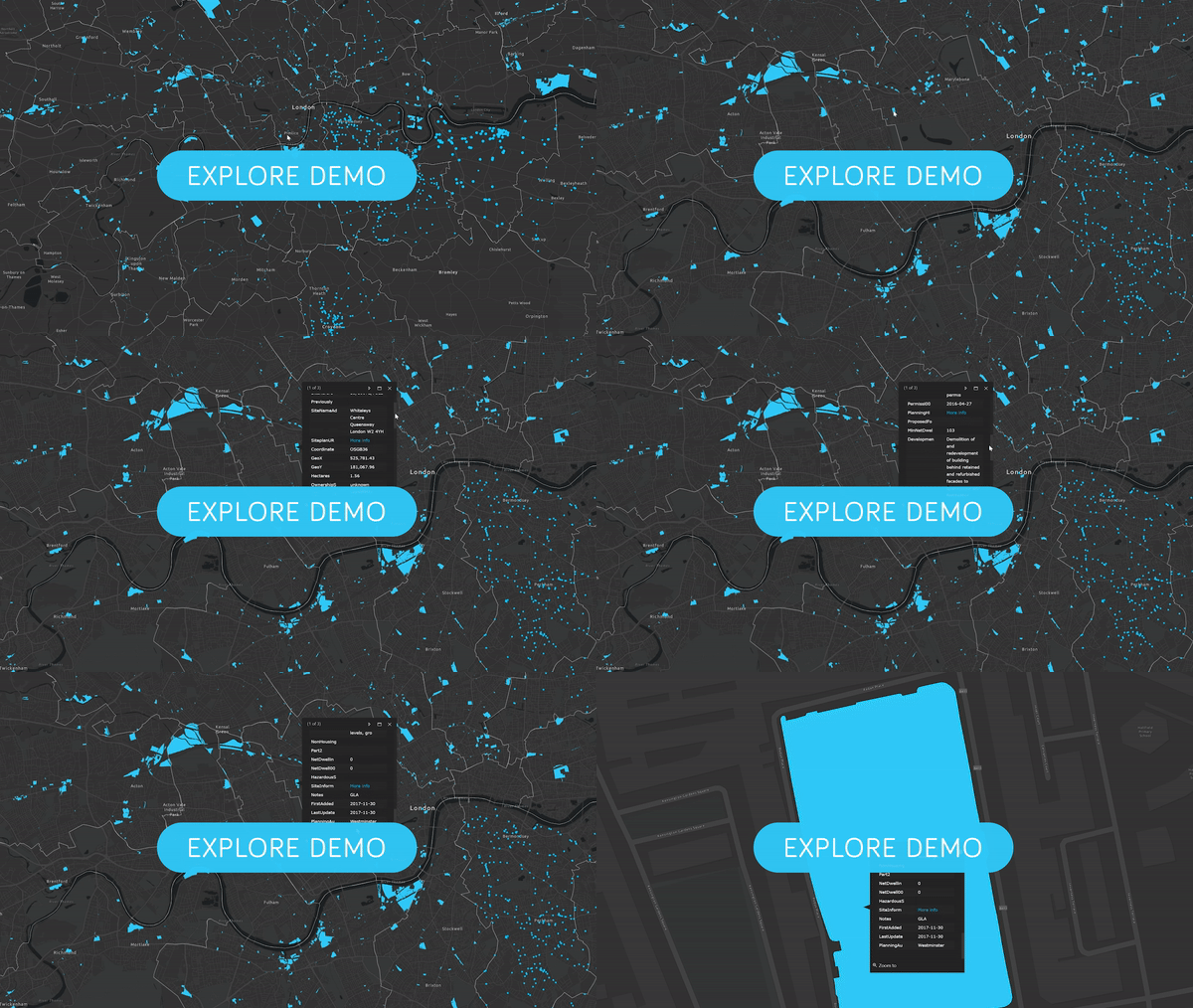
Troy Planning + Design has prepared an interactive map and database of the Brownfield Land Register, showing the location of sites within the Register.
For each site you can see key information such as site area and planning status. If you are a developer interested in our map we can provide you with access to particular local authorities.
Please contact us
We can provide BLR data across England or for individual local authorities, cities, towns and villages / parishes. If you are a developer interested in our map we can provide you with access to particular local authorities. Call us today: 0207 0961329
For more info, please contact Troy Hayes: thayes@troyplanning.com
