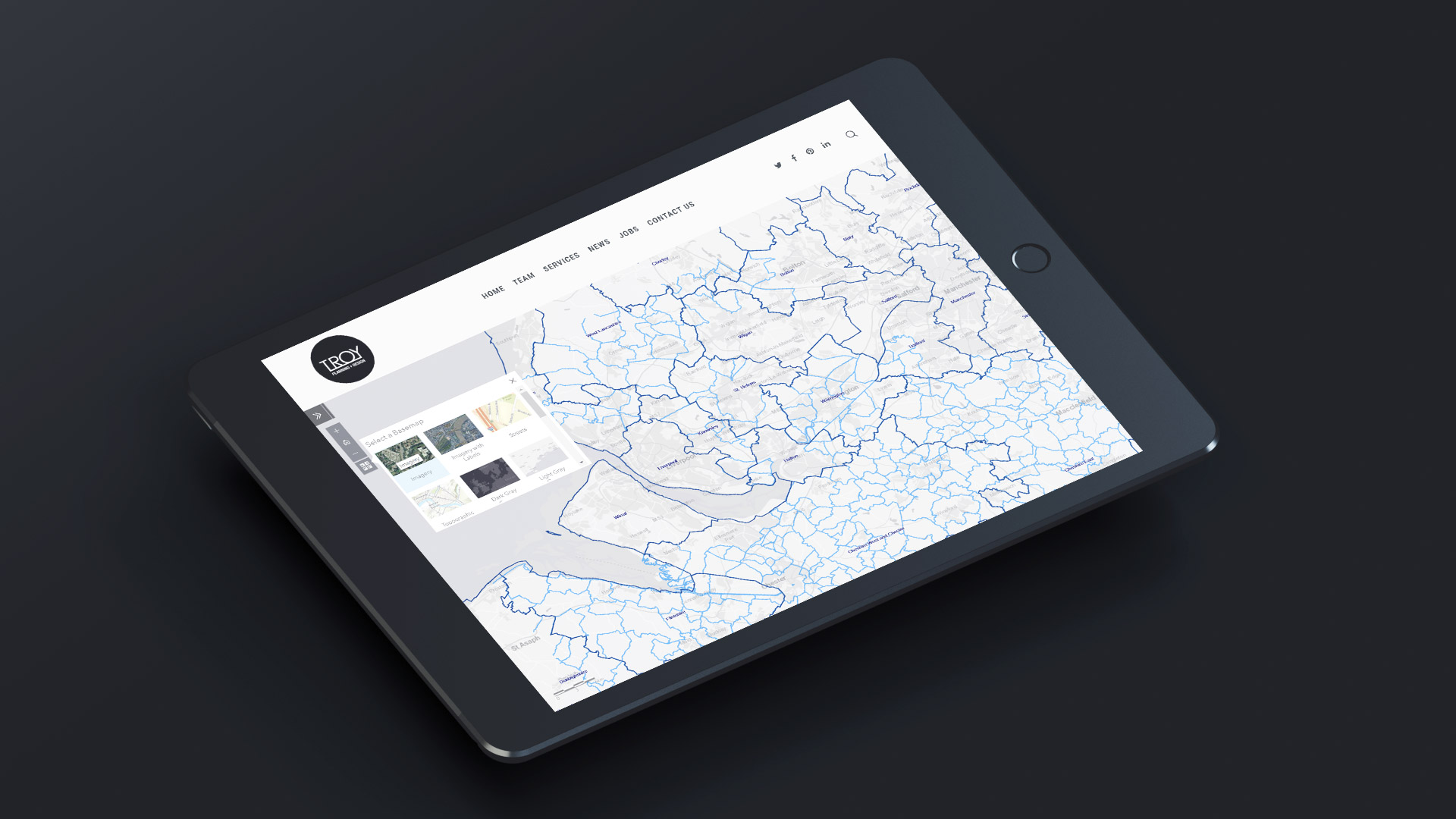
Ever need a handy free web resource for Local Authority & Parish Council boundaries across the UK? Look no further. We’ve created a free interactive map showing the Local Authorities & Parish Boundaries and key data such as the number of hectares. You can hide and unhide the layers, print the maps and switch between plan and satellite basemaps:
Please contact us
We can provide GIS data across England or for individual local authorities, cities, towns and villages / parishes. If you are a developer interested in our map we can provide you with access to particular local authorities. Call us today: 0207 0961329
For more info, please contact Troy Hayes: [email protected]