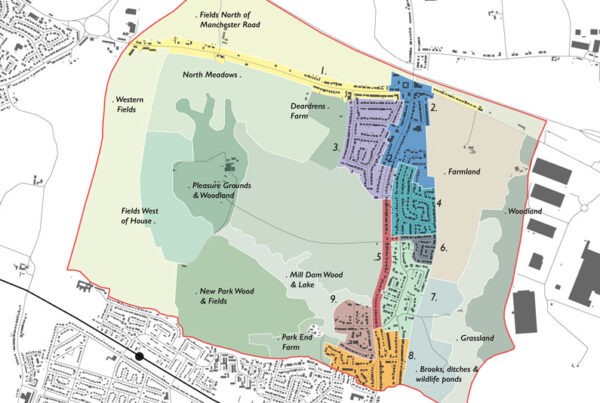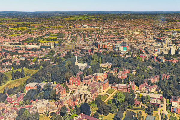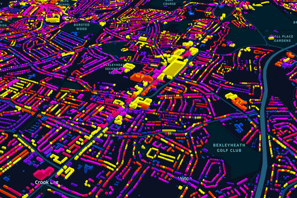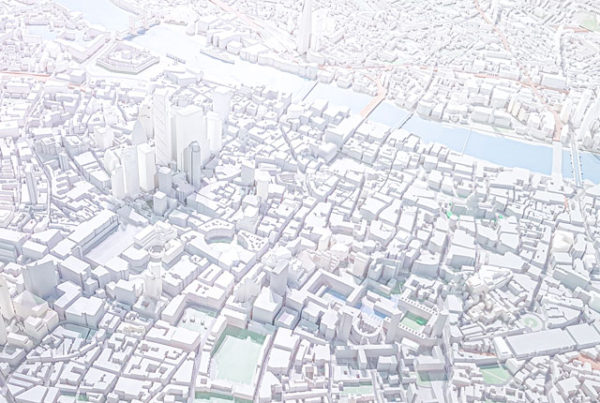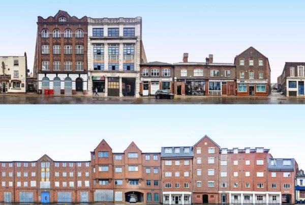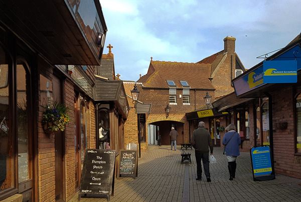
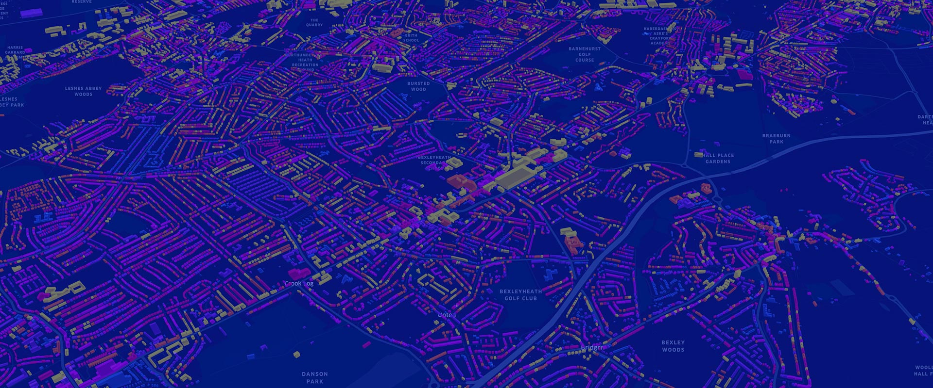
In partnership with We Made That we produced an Urban Morphology Study for the London Borough of Bexley. This study forms part of the evidence base for the Council’s forthcoming Characterisation Study, as well as supporting the production of area-specific design guidance and policies within the Design SPD. Using our suite of geospatial tools and modeling techniques, the study resulted in analytical and visual insights of the built form across Bexley and the typologies informing local character, including aspects such as historical development, scale, height, density, layout and land use.
During the development of the study, we used a combination of 2D maps and 3D interactive visualisations to determine what are the most meaningful ingredients and intervals to create the typologies. The outputs were mapped to reveal simplified typologies and help the reader to easily navigate the document. Findings and recommendations from the study, set in the context of the emerging London Plan, small sites housing targets and design policies, will help inform the direction of future change within the built form.